Team Modeling Project
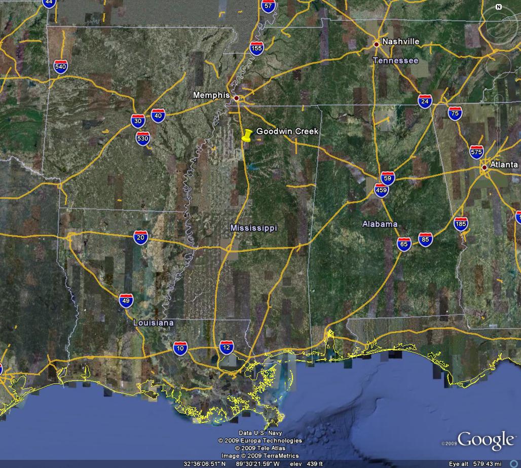
Goodwin Creek, Mississippi
Dr. Nelson


The Goodwin Creek watershed is a research watershed developed and maintained by the Agricultural Research Service (ARS) which is part of the USDA. It is located off of I-55, southeast of Batesville, MS.
For links to information about the ARS, its projects, and the Goodwin Creek Basin go to this website.
Click here for a file that will bring up your watershed in Google Earth.
Data
You will need to obtain Elevation (DEM), Land use, and Soils data for this watershed. Refer to previous assignments for recommended sources for this data.
The coordinates for the rain gages and outlet locations are shown in the table below.
x y Gage4 235373.3507 3794475.704 Gage10 238402.4968 3794929.504 Gage61 233128.744 3791980.187 Outlet 231568.6 3791780.2 These coordinates are in a UTM NAD83 Zone 16 projection, and the units are meters.
The basin includes approximately 8.28 sq. mi. of drainage area.
The two rainfall and runoff datasets are found in the table below:
Storm Link to Observed Data Storm 1 June '82 Storm 2 August ' 82
Assignment
Part 1
Obtain Data - Go out and obtain any of the following data that is missing from you watershed.
Elevation - DEM from the USGS seamless server
Land Use - from webGIS website
SSURGO soil data - from the USDA Soil Data Mart
Delineate you watershed
Outlet coordinates are located on your watershed page.
Part 2
Setup an HMS model
Decide which loss method you want to use - Curve number or Green and Ampt
Decide which transformation method you wan to use - Do you need sub basins with routing? Clark or SCS method? Or maybe even the MODclark method?
Setup a GSSHA Model
Define streams- we don't have any cross section info so you need to just decide what you think is adequate here. Maybe try to research you region online. Or try different cross section sizes to see if it makes a difference for your watershed.
Smooth streams
Create a Grid - consider using larger cell sizes than we have used in the past, somewhere between 100m and 150m
Clean Digital Dams
Use a simple uniform precipitation distribution to get the model working.
Part 3
Define the precipitation for your storm
Raingage coordinates are listed on your watershed page.
Make sure you format the precipitation time steps according to the general requirements for HMS and GSSHA as we discussed/will discuss in class.
Get both models to run with the actual precipitation distribution.
Part 4
Compare your models' outflow with the actual outflow
Optimize and calibrate you HMS model to match the observed outflow.
Manually calibrate your GSSHA model to better match the observed outflow.
Part 5
Try to validate your models with another storm
Obtain the observed precipitation and outflow for the other storm for you watershed from the other group modeling that same watershed.